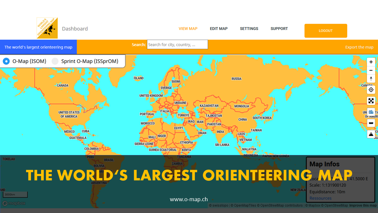
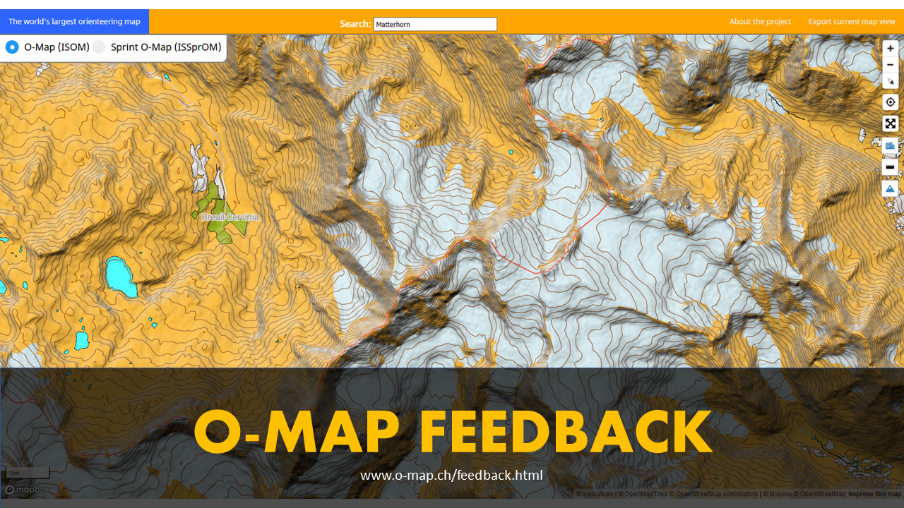
The whole world mapped as an orienteering map

The worldwide orienteering map offers new possibilities. It is easy to use and offers various export options to use the map for training and competitions. The difference to other similar projects is that it can be easily edited online and changes are updated in real time.

Open Map Heatmap
Get an o-map mapper

Join the project as a mapper

Become a mapper and edit the o-map. Create an account for free and draw missing objects and adjust incorrect objects. You can use various sources (satellite images, survey data, ...). Help to map the whole world as an orienteering map.

Register

Features

What you can do with the map.

Export as PDF

The matching map section of the orienteering map can be exported as a PDF file and therefore used for an orienteering event.

Export as an image

Export the map as an image for use in other programs. So you can complete the map or make a course on it.


Measure Distances

You can measure distances across the whole world.


Geolocation

Display your location on the map using your GPS.


Search places and countries

Search streets, cities and countries by their names.


3D Mode

Activate the 3D Mode and blend in hillshades to make the terrain even easier to understand.


Full Screen

View the map in full screen mode and get the most out of your screen size.


Coming Soon

Further features will follow...


To know more about the features, visit our wiki here.

Newsletter

Subscribe to the newsletter and receive regularly information about updates and background knowledge directly to your mailbox.

Subscribe our Newsletter

Instagram

Follow the o-map on Instagram to stay up to date. @o_map.ch

Open Instagram

Get news from our blog

Check out our blog and learn more about the o-map. Subscribe to our newsletter to be informed about new articles.

Open Blog

Feedback

Your feedback helps us to improve the map. Fill out the survey or send us a message via the contact form. We are looking forward to to hear from you.

Open Survey